The new UK topsoil geochemistry dataset has been released!.
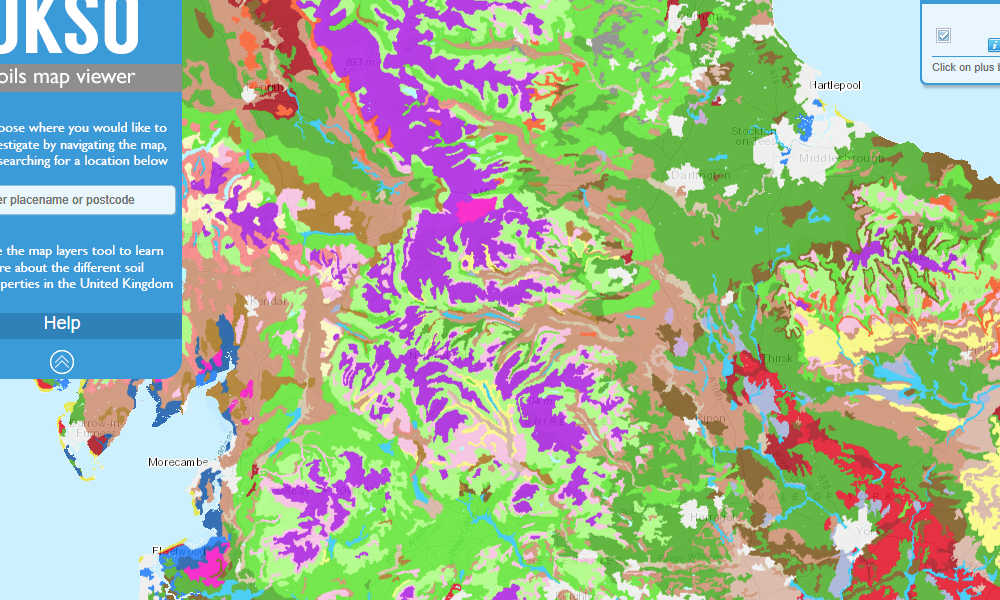
The UKSO map viewer is easy to use and has some of the most accurate and comprehensive soil data available to view and use for free!
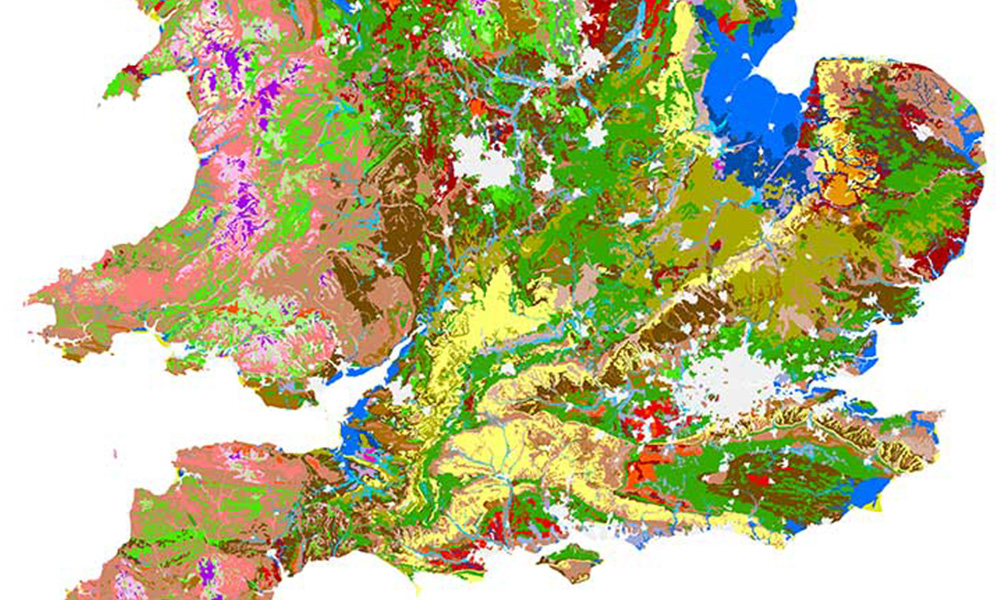
Static maps are quick access exports from the full UKSO Map viewer coupled with contact information and usage details.
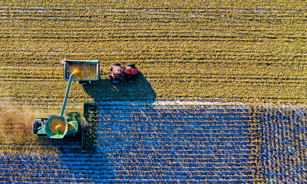
Policies and guides for agriculture and industry.
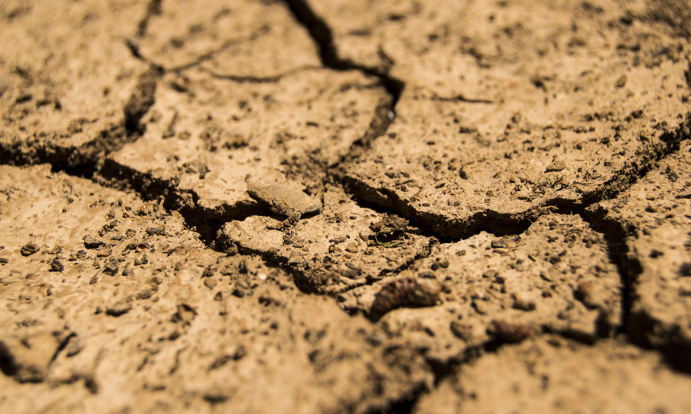
There are numerous soil threats, take a look in to what they are and what can be done to help prevent, slow down or reverse them.
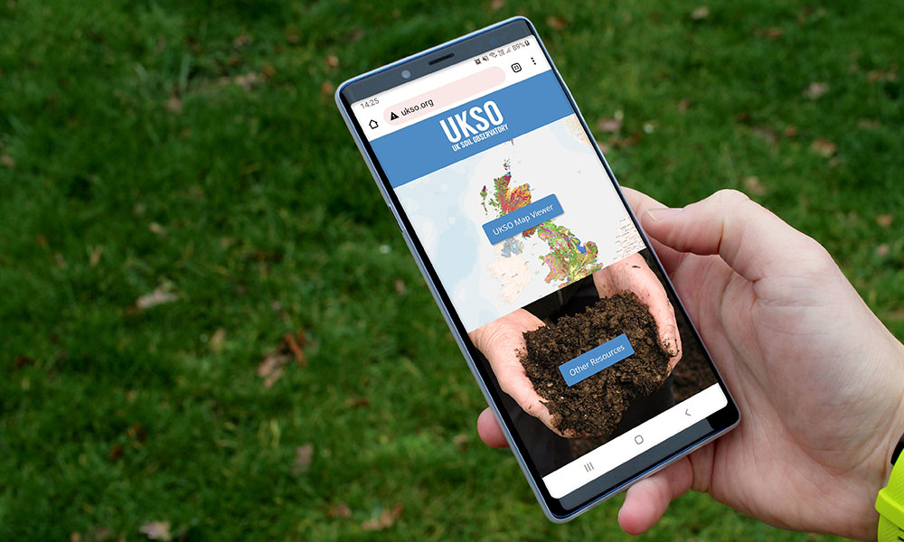
Access some of the best apps and web resources to find out more about soils in your area.
Join the community and help the UKSO gather data about soils in your area, submit your own soil data to improve the already vast dataset!

Why not keep up to date and check out the latest news on our twitter page!
The UKSO is a joint effort researching soils across the UK and delivering open access information to the wider public and science communities.