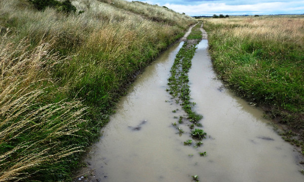
How wet or dry a piece of land is likely to be relative to another can be initially assessed by considering the shape of the land. The high resolution of elevation data now available makes it possible to pick out subtle features in the land including ridges, hollows and likely flow paths which contribute to changes in how wet an area is over small distances (i.e. within a field). Where other information is also considered e.g. including past and present weather conditions, the underlying geology, soil type and vegetation cover, it will be possible to provide a better informed and more reliable assessment. For more information, take a look at example topographic wetness maps in the map viewer. An information sheet providing more details is available here.