The higher the resolution of the terrain data that you have, the more specific information you have about the land you are assessing. Until now, the highest resolution terrain data available for the UK has been limited to specific areas with regions of much more limited resolution between them. However, over the next couple of years, the Environment Agency will be releasing a complete and seamless high resolution elevation dataset for the entire country that will be freely available. This will still consist of high precision LiDAR data; as well as aerial photograph derived elevation information where LiDAR couldn’t be carried out.
Knowledge of the terrain and how it changes across the area in which you work has huge implications for a whole range of processes. Understanding these changes and how they can be capitalised on will enable you to make smarter business decisions and maximise the usage of your resources whilst being even more informed, prepared and able to comply with environmental legislation such as with regard to pollution pathways.
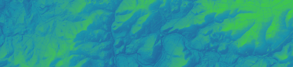
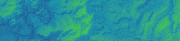
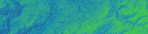
As with elevation data of any resolution, it is possible to calculate a range of derivatives including slope, aspect and curvature. It is where these surfaces are combined and considered relative to various processes and other information such as geology and weather conditions that they start to become more informative. Below are a number of examples that integrate these derivatives with a variety of rules and considerations that show the potential that the provision of these new high resolution terrain data can offer.