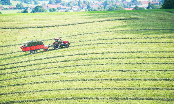
Machinery overturning and hitching is a well-known hazard when working on slopes. The operation of vehicles on sloping terrain requires both training and experience to ensure both operator and observer safety. Using high resolution elevation data it is possible to map the slope and curvature of your land. This information can then be used to identify areas where increased caution is required such as for overturning (on steeper slopes) and hitching (where there is a change in angle). Examples of zoned maps – using freely available EA 2 metre LiDAR data – are presented in the map viewer using arbitrary slope ranges (these will vary according to the specific requirements of the specific machinery you operate). These offer an initial insight but do not replace the need for ground truthing and individual site assessment. An information sheet on trafficability is available here.